The MN North & State Parks
A few years ago, Jay and I set a goal to visit all of the state parks in Minnesota, and to explore new ones before returning to an old (same goal for National Parks, but those takes a bit more vacation time). Another goal of mine has been to improve my nature photography. So, as I was looking at the state parks map this past week, planning for our next camping trip, I decided to merge the two and add photographing every park as we go.
A huge challenge with nature photography is capturing, in a frame, the overwhelming and vast beauty of the spots I am surrounded by. Photographers I admire have ridiculous skill in doing this, and with practice I am hoping to gain an ounce of it. When I have my camera along on trips up north, it adds an emphasis on seeking out the natural beauty, and pushes me to visit new parks and explore new paths.
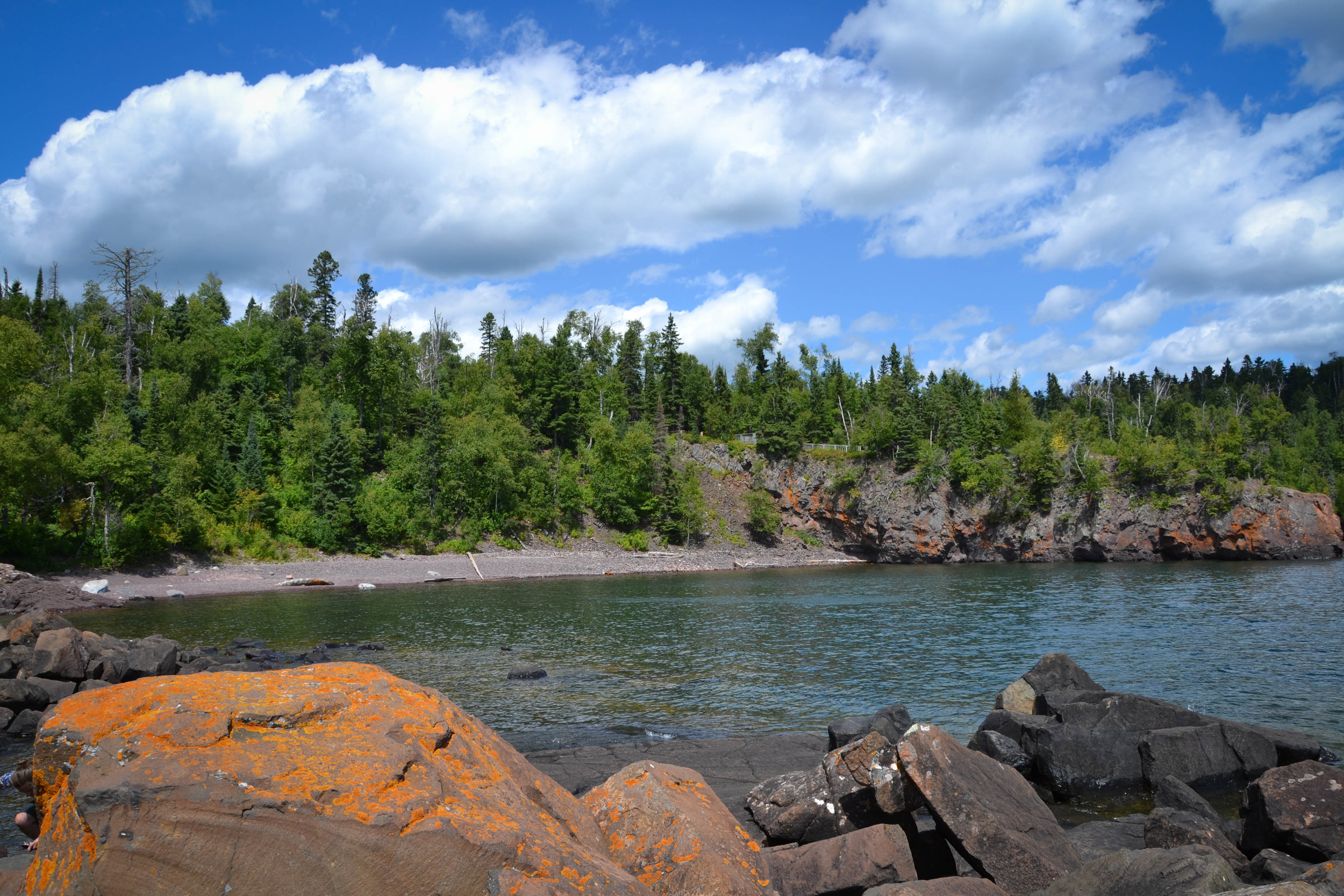
This weekend we spent time at our cabin near Ely, then drove down remote Highway 1, connecting to Highway 61 and heading down the North Shore. We planned to stop at a couple of parks, but got to Tettegouche and couldn't leave - the Superior water looks basically like a magical tropical lagoon (except with 40 degree water - our plan to swim ended the second we dipped our feet in the lake). In our time there, hiking, then stopping to stare out at Superior, hiking, stopping, etc., we only explored about 4 of the 23 miles of trails they have. It's pretty clear that this goal of ours is going to take a few years...
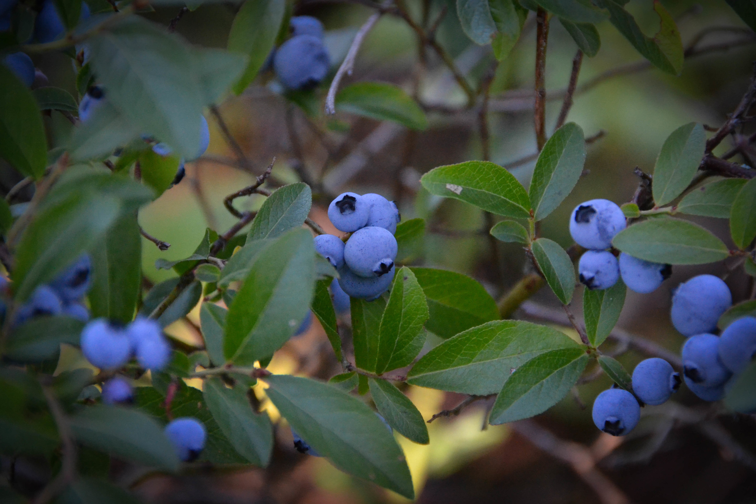
Here are a few pictures from the weekend stay at the cabin with family, lots of blueberries, and a hike around Tettegouche - a park that is at the top of the list of favorite parks I've been to. (click on images to enlarge):


